Historical Maps of the Middle East in Open Access

Today we are highliting three online resources making freely accessible historical maps of the Middle East: Palestine Open Maps, the Perry-Castañeda Library Map collection, and The Afternoon Map.

Palestine Open Maps is a platform making available and searchable historical maps from the British Mandate of Palestine period (1920-1948). Materials come from a number of institutions like the National Library of Israel, the National Library of Australia, the David Rumsey Map Collection. The platform includes a large collection of 1940s survey maps in the public domain “covering the territory at scales of up to 1:20,000. It also offers great search and overlay capabilities highlighting the human, natural, and urban geography transformations over the past century. Initiated in March 2018 by Vizualing Palestine and Columbia University Studio-X Amman, Palestine Open Maps is now maintained and developed by Vizualizing Palestine in collaboration with individuals. More information about the platform, the map collection or terms of use can be obtained here.

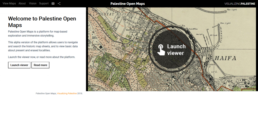
Screenshot of the Palestine Open Maps platform, July 24, 2019.

The Perry-Castañeda Library Map collection at the University of Texas at Austin includes  over 250,000 maps among which a number of historical maps of the Middle East. If only 20% of the overall maps collection has been digitized so far, the effort to make more content available online is continued. Published between 1849 and 1973, The Middle East maps collection cover the Arab World, Turkey and Iran from 500 B.C. to the 1970s. Materials are listed alphabetically by name of locality, and accompanied by a brief description. They can be opened, downloaded or saved in PDF format. More information about the collection or terms of use can be obtained here.

Aleppo [Alep] 1912. From Palestine and Syria… Handbook for Travellers by Karl Baedeker, 5th Edition, 1912.

The Afternoon Map is an Ottoman-Turkish-Middle Eastern-Balkans cartography blog launched and maintained by Dr. Nicholas Danforth, Senior Policy Analyst at Bipartisan Policy Center. The purpose of this academic blog is to publish “original, visually appealing and intellectually engaging maps harvested from archives and libraries around the world.” Maps are systematically introduced and put in historical context, and can easily be downloaded and saved. In addition to historical maps, the blog includes “Home Made Maps” covering a broad range of topics like earthquakes death, folk song, food, borders or trains. Last, The Afternoon Map also posts “Non Maps” (pictural materials like posters or caricatures), and “Articles” on a variety of topics authored by the blog’s owner. For more information about the maps or terms of use, or to contribute to the blog, contact the author.

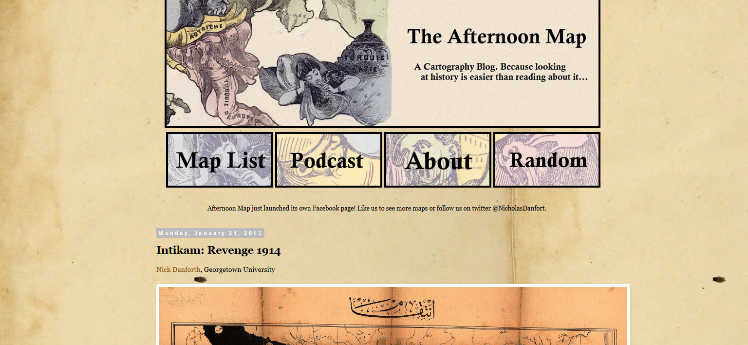
Screenshot of The Afternoon Map blog, July 25, 2019.

Islamic Manuscripts Scientific Initiative

The  Islamic Scientific Manuscripts Initiative (ISMI) is a collaborative project between researchers from the Max Planck Institute for the History of Science in Berlin (Germany) and McGill Institute of Islamic Studies in Montreal (Quebec, Canada) aiming at making available information on Islamic manuscripts in the exact sciences. As such it includes manuscripts in Arabic, Persian, Turkish, and other languages covering a broad range of topics like astronomy, mathematics, optics, mathematical geography, music, mechanics, etc.

Initiated in 1996, the project was over the years funded by numerous government agencies and private institutions. It is currently supported by the Canada Research Chair in the History of Science in Islamic Societies and Compute Canada.

The ISMI database gives access to authors, their works, and extant manuscript witnesses in the various fields of the sciences. links metadata with manuscripts images  When possible, digital images are made public. Designed to facilitate research on these materials, the database allows for great flexibility in cross-searching descriptive fields (author, title, place of production, dates, etc.). Alternatively, the database can be browsed by name, title, place of production but also repository, etc. Results always display as a list where items are clickable.

 When made public, scanned images display in a reader offering single page, double page or thumbnails view. Digital copies include photographs of the binding, flap, spine and page edges allowing for a better codicological understanding of the codex. “Unless otherwise noted all ISMI content can be used under a Creative Commons Attribution-ShareAlike license: CC-BY-SA.”

Any questions and/or feedback can be sent to ismi-feedback@mpiwg-berlin.mpg.de.