The MAP Project :“Montréal, l’avenir du passé” (Montréal, The Future of the Past)
When you need a break from your summer Montreal walkabouts, consider exploring from your armchair, the MAP Project website.
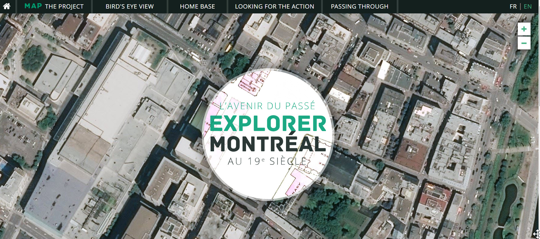
MAP is an open historical and geographic map portal which allows you to view what Montreal and Montrealers looked like at the turn of the 19th century. The site cross references Montreal maps made by C.E. Goad in 1881 and 1912, with information from the 1881 and 1901 Canadian censuses and layers on other microdata sets (tax rolls, Lovell’s Directories of Montreal businesses).
The site is designed to guide your exploration. Open Bird’s Eye View to view thematic maps for 1881 and 1901 and compare socioeconomic variables.
Interested in how Montrealers made a living or where most of the tavern owners lived? Looking for the Action lets you discover the spatial distribution of occupations and explore street clusters to see how Montreal has changed over time.
Passing Through superimposes the 1921 Goad atlas over a current Google street map. Find your home and see what was there in 1921.
The MAP Project began in 2000 and has involved many contributors. The project has been overseen by Robert Sweeny, a historian at Memorial University of Newfoundland, and Sherry Olson, a geographer at McGill University. Since 2015, the CIEQ has developed the visualization techniques needed to bring the entire geobase online and the site is now one of many on Espace CIEQ .