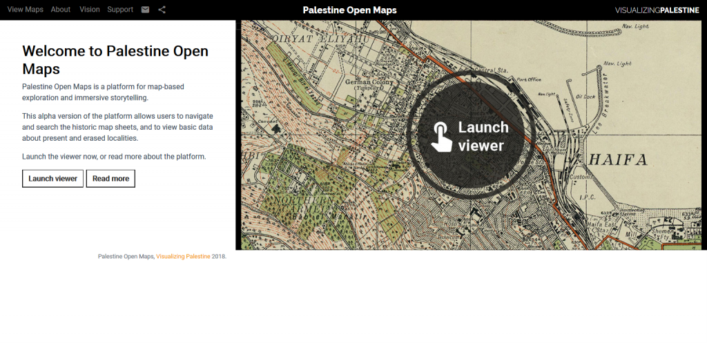
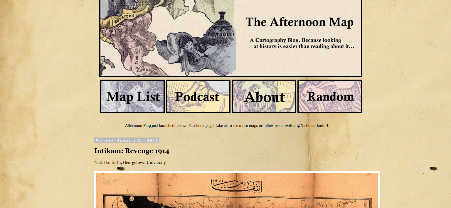
Today we are highliting three online resources making freely accessible historical maps of the Middle East: Palestine Open Maps, the Perry-Castañeda Library Map collection, and The Afternoon Map.
Palestine Open Maps is a platform making available and searchable historical maps from the British Mandate of Palestine period (1920-1948). Materials come from a number of institutions like the National Library of Israel, the National Library of Australia, the David Rumsey Map Collection. The platform includes a large collection of 1940s survey maps in the public domain “covering the territory at scales of up to 1:20,000. It also offers great search and overlay capabilities highlighting the human, natural, and urban geography transformations over the past century. Initiated in March 2018 by Vizualing Palestine and Columbia University Studio-X Amman, Palestine Open Maps is now maintained and developed by Vizualizing Palestine in collaboration with individuals. More information about the platform, the map collection or terms of use can be obtained here.
The Perry-Castañeda Library Map collection at the University of Texas at Austin includes over 250,000 maps among which a number of historical maps of the Middle East. If only 20% of the overall maps collection has been digitized so far, the effort to make more content available online is continued. Published between 1849 and 1973, The Middle East maps collection cover the Arab World, Turkey and Iran from 500 B.C. to the 1970s. Materials are listed alphabetically by name of locality, and accompanied by a brief description. They can be opened, downloaded or saved in PDF format. More information about the collection or terms of use can be obtained here.
Aleppo [Alep] 1912. From Palestine and Syria… Handbook for Travellers by Karl Baedeker, 5th Edition, 1912.


