Persuasive Maps is a collection of more than 800 maps collected by P.J. Mode housed at Cornell University library. This collection holds maps dating from the 1800s to the present day and covers various geographical areas of the world.

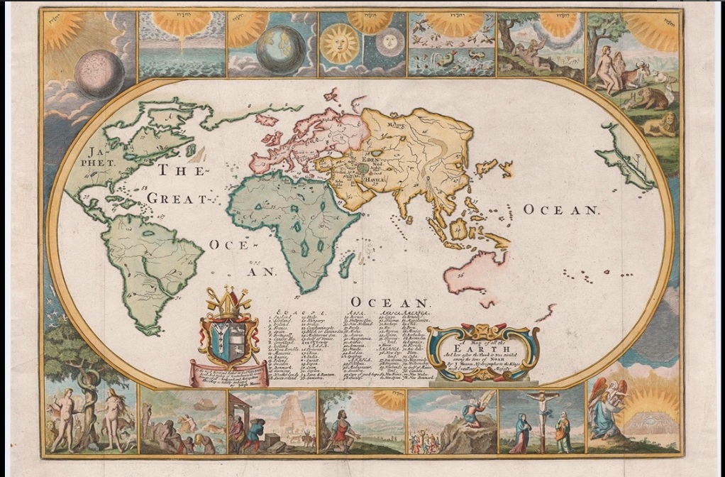
….While this map provides a reasonably accurate view of the world as known in 1681, it was intended primarily for religious education, bound (folded) into copies of English-language bibles and other religious works of the 17th and early 18th centuries (Shirley 1983, #457). The seven days of creation are illustrated in the panels at the top of the map. Below are the expulsion from Paradise, the Flood, the Tower of Babel, God speaking to Moses, the Ten Commandments, the Crucifixion and the Ascension. The voice of God is represented by Hebrew characters…The map is centered on Eden.
Persuasive Cartography seeks to communicate more than geographical information and intends to influence opinion or to send a particular message. Since maps represent a subject viewpoint, cartographers needed to decide what information to include or exclude.
Maps sit somewhere on the spectrum between science and art and subjectivity and objectivity. The maps of this collated collection are chosen because they communicate messages beyond geographical information. For instance, they illustrate a whole range of human concerns from religious, political, military, commercial, moral and social.
On May 3, 2016 P.J. Mode in a presentation to The Grolier Club of New York and New York Society, gave an interesting talk entitled “Deconstructing Persuasive Cartography”, in which he elaborated on the concept and idea of Persuasive maps and discussed different examples of maps from his collection. Link to the video

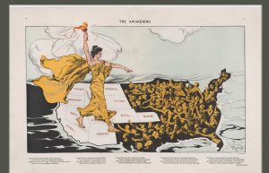
…Lady Liberty, wearing a cape labeled “Votes for Women,” stands astride the states (colored white) that had adopted suffrage. She holds aloft her torch, bringing “enlightenment” to women in those states still in the dark. The faces of these women are turned up to the light, and some reach out in hope. (Many have fashionably short hair and hats, reflecting the middle and upper class core of the suffrage movement. Dando 2010, 224)….
Along with developments in technology and communications, the methodology of persuasive cartography has also developed. “The collection reflects a variety of persuasive tools: allegorical, satirical and pictorial mapping; selective inclusion or exclusion; unusual use of projections, color, graphics and text; and intentional deception.”
The collection can be searched or browsed by subject, posted date or the entire collection. Each item provides more information about the item such as title, subject, date, creator, size/extent, and collector’s note. The collector’s note are the result of P.J. Mode research and analysis.

