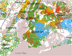
I am always astounded by what can be done with geospatial data – here is a map from The New York Times that uses data from the U.S. Census Bureau’s American Community Survey (2005-9) to show the distribution of racial and ethnic groups for every city block.
Image: captured from NYT

